Loop XL

Length: 63,25 km
VM: 5126 hm
max. Height: 2492m (Graukogel)
Surface types: alpine terrain, grass, gravel path, trail
Highlights: Lap around Graukogel and ridge run to Graukogel summit
You love vertical meters? You get more than enough on the XL Loop. The 65K takes you over three summits in the Gastein Valley. The first peak that you climb is the Gamskarkogel (2,467m), Europe’s highest grass mountain.
You start in the Alpen Arena in Bad Hofgastein. After less than 1 km of asphalt on the path through the village center, you become immersed in the wonderful world of trail running on the waterfall path up to the Annencafé, and cross the forest road several times, but always take the short route through the woods, and at 5.3 km you pass the Rastözenalmen (= 1st aid station).
The flowing trail then spirals further and further upwards until you reach the ridge between the Gastein and Großarl valleys after 7.3 km. You follow this ridge for 4km, during which you have a beautiful view of large expanses of the surrounding area.
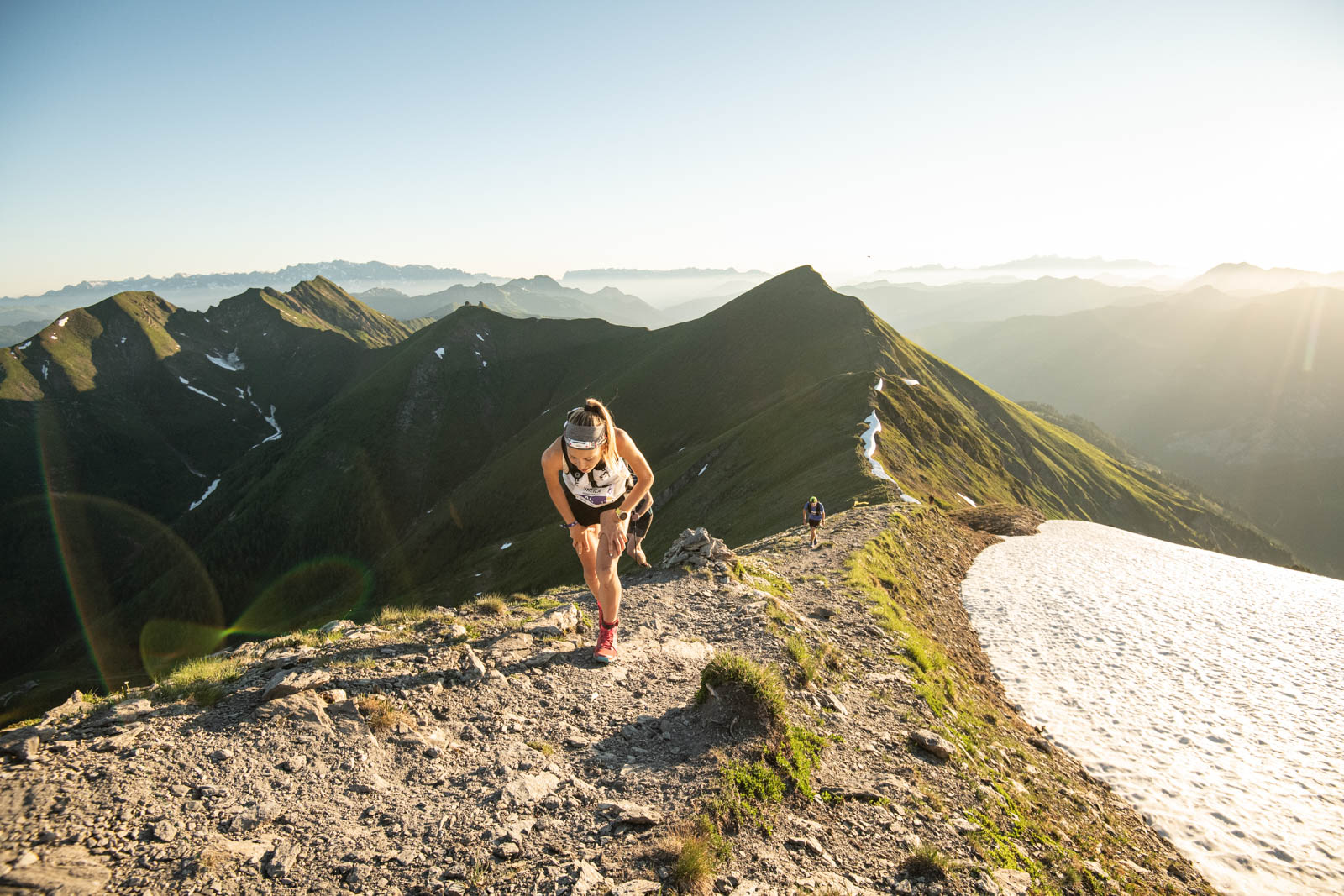
At 10.6 km you reach the Gamskarkogel alpine hut (= 2nd aid station). Here you have already climbed 1900 vertical meters and can race downhill on beautifully runnable trails towards Poserhöhe. From there you follow the steep Zwergalweg downhill to the hotel village Grüner Baum, where you can refuel at the 1st aid station before tackling the first longer climb towards the Graukogel Middle Station. After following a forest road up through dense forest and you can refresh again at the Middle Station before the climb to the second mountain peak – the Graukogel – begins. From now on it is important to keep your legs relaxed, after all, 1000 steep meters of elevation gain follow up to the summit.
After the Middle Station, a wonderful hiking trail leads you to Graukogel Mountain Station (5th aid station). Then you spiral your way around the Graukogel, rising moderately. It is worth looking down to the right to the Palfnersee. At the Palfnerscharte (2,321 m) you have to keep left, because now the most demanding part of the loop follows: the Graukogel ridge. Over blocked rock the route carries on to the Graukogel summit (2,492m, highest point). Here the Gastein Valley lies at your feet.
Back at the Mountain Station (passing the 5th aid station = 6th aid station) you take the same way back to the Graukogel Middle Station (passing the 4th aid station = 7th aid station).
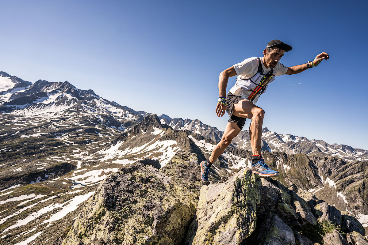
Now you take the forest road back into the valley to get to the Böcksteiner Höhenweg. This leads to Böckstein to the 8th aid station at Hotel Rader. From now on it will be steep: there are about 6km/ 1300m up to Tischkogel ahead of you. The path becomes narrow and meanders uphill. You pass beautiful alpine pastures such as the Böckfeldalm and the Zittrauer Alm. The trail to the Tischkogel is rocky and steep, but at the summit (2,433m) you will be rewarded with a great view of the Gastein mountains. Along the ridge you can initially enjoy a little downhill before you have to climb a few more meters to the Stubnerkogel, where the 9th aid station is waiting for you. There are still about 14km ahead of you, most of the route leads downhill: over trails and slopes it goes into the Angertal – here you can recharge at the last aid station before the finish. Now only 100 meters uphill separate you from the wonderful downhill (partly via the bird nature trail) back to the Alpen Arena.