Team Loop S

Length: 21,4 km
Elevation change: 1855 vm +/-
Maximum height: 2467m (Gamskarkogel)
Surface types: trail, gravel path
Highlights: Summit at Europe's Highest Grass Mountain
After less than 1 km of asphalt on the path through the village centre, you become immersed in the wonderful world of trail running on the waterfall path up to the Annencafé, and cross the forest road several times, but always take the short route through the woods, and at 5.3 km you pass the Rastötzenalmen (= 1st aid station).
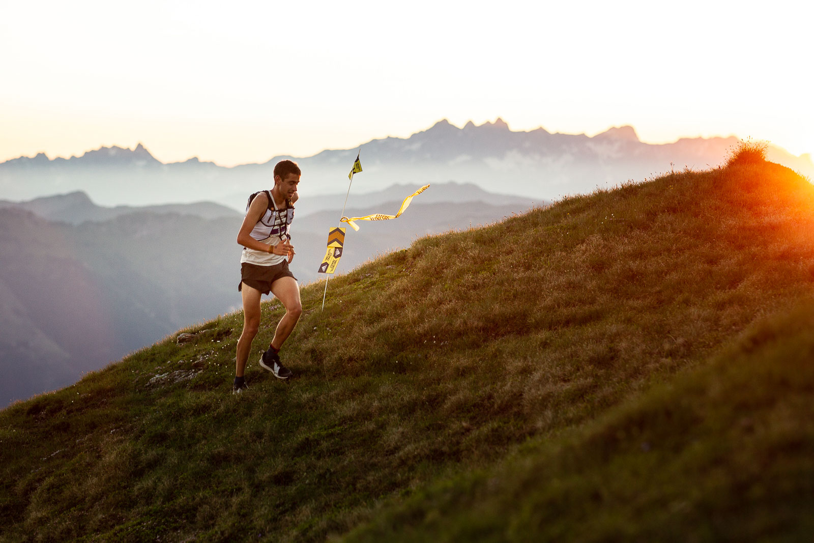
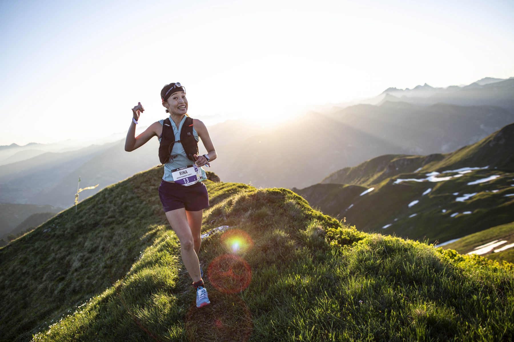
The flowing trail then spirals further and further upwards until you reach the ridge between the Gastein and Großarl valleys after 7.3 km. You follow this ridge for 4km, during which you have a beautiful view of large expanses of the surrounding area.
At 10.6 km you reach the Gamskarkogel alpine hut. At this point, you will have climbed the entire 1900 m of elevation and you can look forward to the downhill on the permanent T1 trail run route back to the Alpen Arena in Bad Hofgastein. The route leads you at km 11 to the right downhill back to the Rastötzenalm (= 2nd aid station, here you can refresh yourself again before continuing downhill on the familiar route. At 16.2 km you leave T1 at a fountain sharply to the left. From here you are on a forest road which, after a short uphill section, continues downhill to the right (towards Planitzenbauer). At 17.4 km you turn sharply to the right, pass a farm and after a short stretch of asphalt you turn onto the Höhenweg at Café Sonnberg, which takes you the last few meters back into the valley and to the finish.