Team Loop L

Length: 43,70 km
Elevation change: 3080 vm +/-
Maximum height: 2433m (Tischkogel)
Surface types: gravel path, trail, asphalt
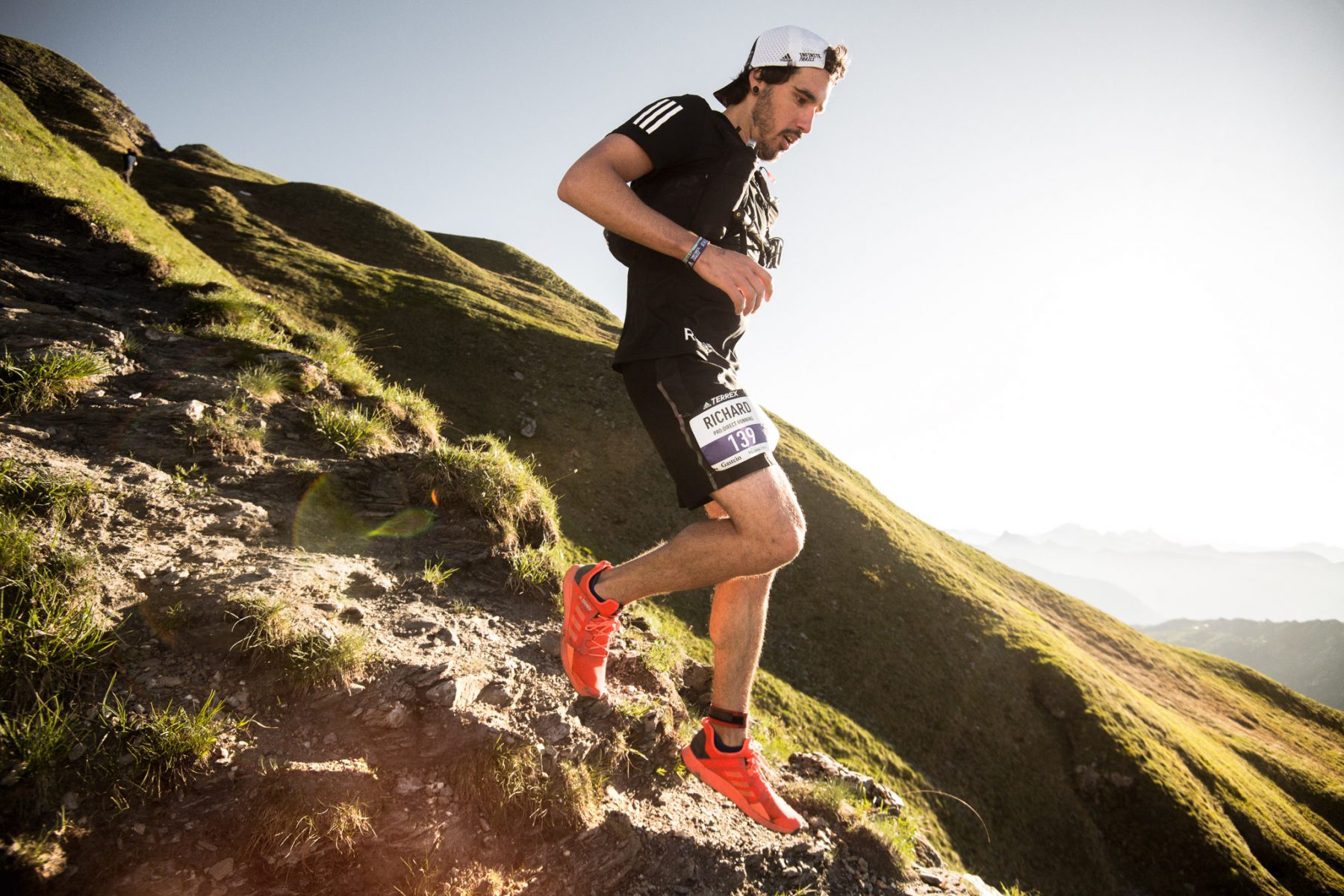
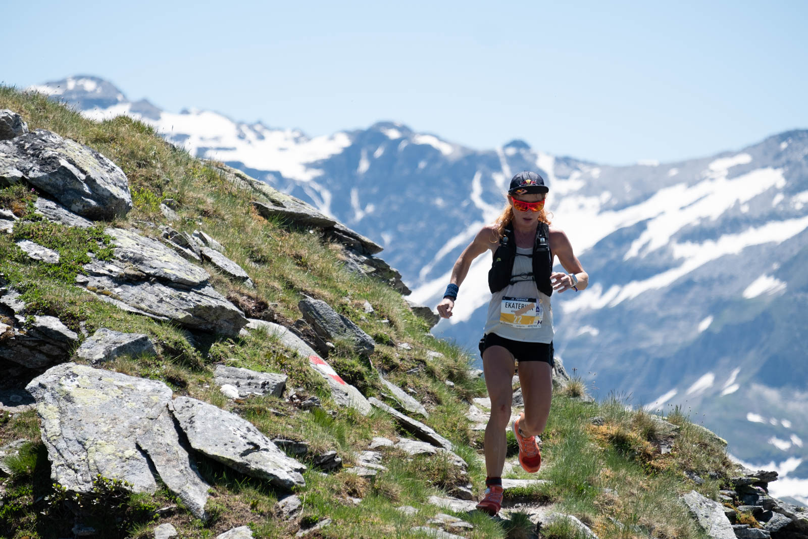
Highlights: ridge run from the Tischkogel to Stubnerkogel
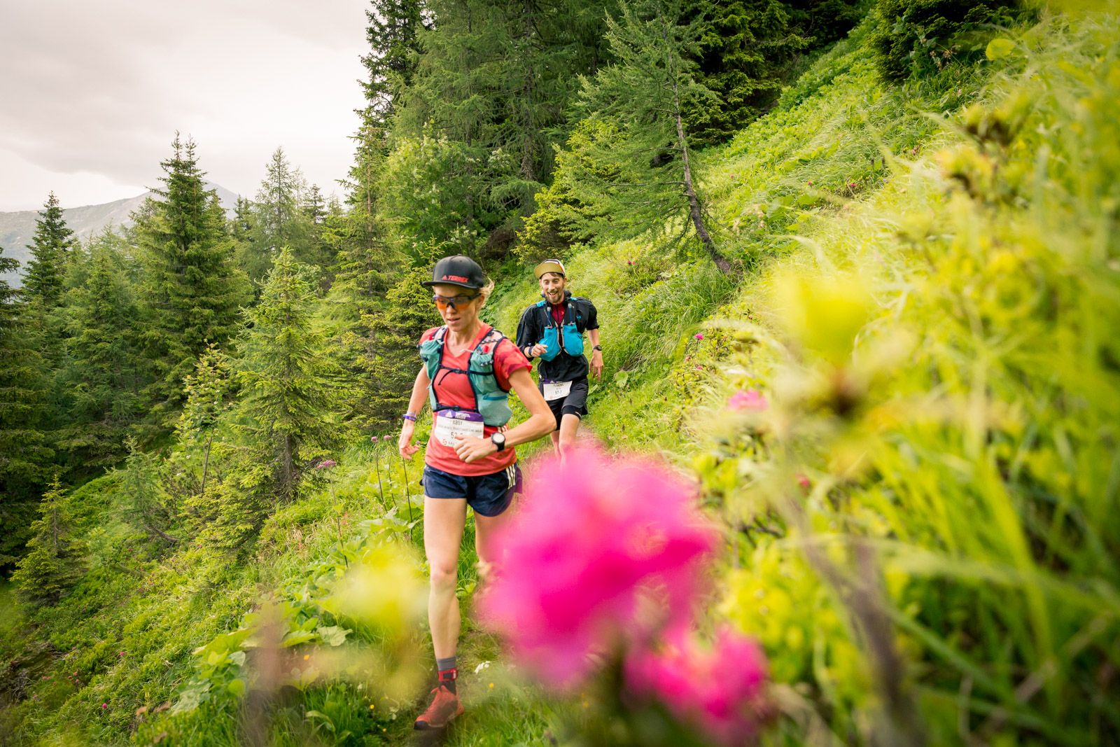
Leaving Bad Hofgastein you run on the Planitzenweg to Poserhöhe. From there you follow the steep Zwergalweg downhill to the hotel village Grüner Baum, where you can refuel at the 1st aid station before tackling the first longer climb towards the Graukogel Middle Station.
After following a forest road up through dense forest and you can refresh again at the Middle Station. On the opposite side you can already see the highest point of your loop, the Tischkogel (2433m). But there are still a few kilometers and especially vertical meters to go to the summit. Now you take the forest road back into the valley to get to the Böcksteiner Höhenweg. This leads to Böckstein to the 3rd aid station at Hotel Rader (km 22.4). From now on it will be steep: there are about 6km/ 1300m up to Tischkogel ahead of you. The path becomes narrow and meanders uphill. You pass beautiful alpine pastures such as the Böckfeldalm and the Zittrauer Alm. The trail to the Tischkogel is rocky and steep, but at the summit you will be rewarded with a great view of the Gastein mountains. Along the ridge you can initially enjoy a little downhill before you have to climb a few more meters to the Stubnerkogel, where the 4th aid station is waiting for you. There are still about 14km ahead of you, most of the route leads downhill: over trails and slopes it goes into the Angertal – here you can recharge at the last aid station before the finish. Now only 100 meters uphill separate you from the wonderful downhill (partly via the bird nature trail) back to the Alpen Arena.