Adverse weather loop 3

Length: 35,39 km
Elevation change: 1636 vm +/-
Maximum height: 1922m
Surface types: gravel path, trail, asphalt
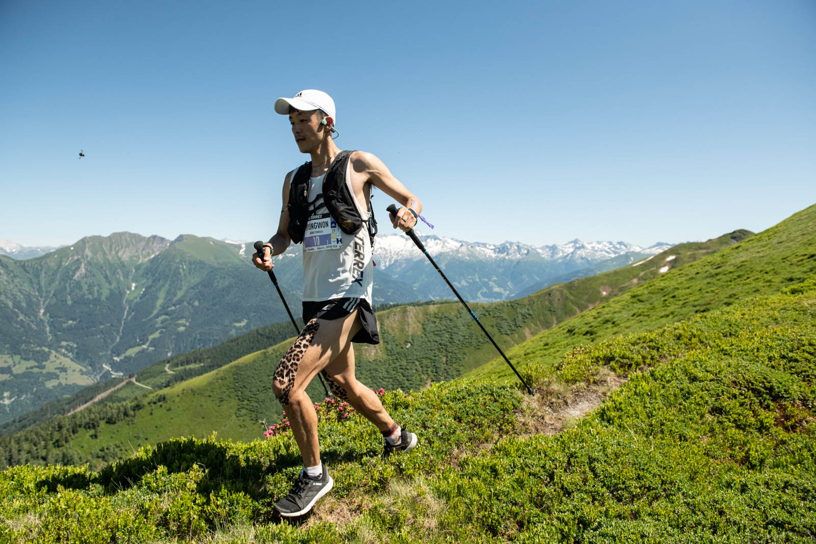
Highlights: ridge run from the Jedlkopf via Seebachkatzenkopf to the Wetterkreuz
This time, you head north from the start and initially follow the Achenpromenade out of the valley, cross the Gastein river and run across a brief asphalt section via hiking routes to Fundner Heimalm (= 1st aid station, drinks only, 5.1 km) and then via the steep Hytonga path to Biberalm (= 2nd aid station, full-service, 8.4 km).
You then continue along perfect trails, passing the Wetterkreuz and leave the path just above to run down to the right into the valley. Follow this path until you reach 15.1 km and the 3rd aid station (full) at the Jägerhäusl.
From here you run on trails and forest roads towards Dorfgastein. As you run through the little village centre, you pass the 4th full-service aid station at 22.7 km.
At this point, in terms of elevation, you will have just 400 m left, on forest roads heading back in the direction of Bad Hofgastein. Once you have arrived at Bad Hofgastein’s railway station at the bottom of the valley, you can replenish your fluids at the 5th aid station (32 km, full-service).
If you have paced yourself well, you can go fast again here, grab your two teammates and sprint the last 700 m together to the finishline!