Adverse weather loop 2

Length: 47,79 km
Elevation change: 2744 vm +/-
Maximum height: 1983m (Graukogel Bergstation)
Surface types: trail, gravel path, asphalt
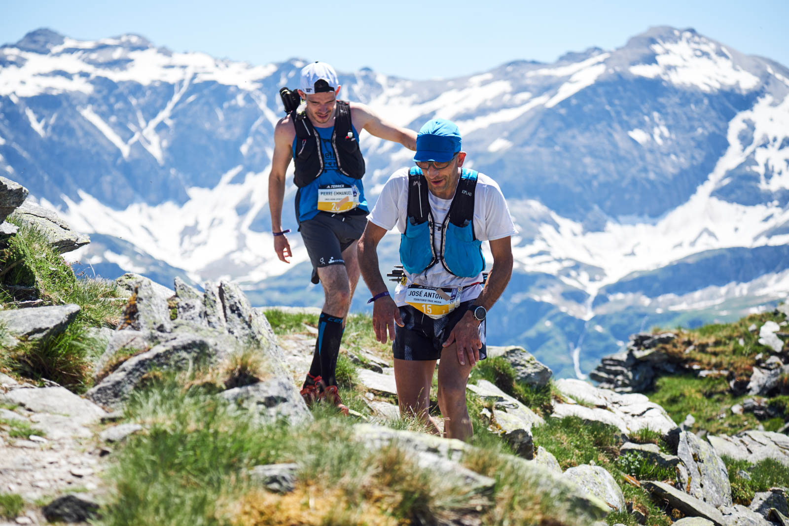
Highlights: Ridge run at Graukogel
You leave Bad Hofgastein directly behind the church via the Höhenweg. This runs approx. 150 metres above the valley floor and opens up wonderful views over the valley again and again. About halfway, you pass through the Gadauner Gorge with two short illuminated tunnels.
Shortly before the hotel village Grüner Baum (7.5 km), take the Kaiser Wilhelm Promenade in the direction of Bad Gastein. At its end you cross a road (attention: road not closed!) to reach the foot of the waterfall. Over the small bridge and the Grabenbäckersteig you reach the centre of Bad Gastein (= 1st aid station, drinks only, 10.2 km).
From now on you have to keep your legs loose as you are now facing 900 steep meters of elevation up the Graukogel.
Passing the middle station (= 2nd aid station, full, 13 km), a beautiful hiking trail leads you to the Graukogel mountain station (= 3rd aid station, full, 15.2 km), where you’ll be cheered on by lots of spectators before you make your way back to the middle station (= 4th aid station, full, 17 km). Here you take the forest road back to the valley on the left to get to the Böcksteiner Höhenweg (23.8 km) that leads to Böckstein where you reach the 5th aid station (full, 27.7 km). Take your time to refuel properly, because the next meters of elevation past the Böckfeldalm up to the Stubnerkogel middle station (32.5 km) are really tough.
After circling Stubnerkogel, you go from the Stubneralm via trails and slopes to the Angertal (= 6th aid station, full, 38.7 km). Now only 100 metres of elevation separate you from the beautiful downhill (partly via the bird nature trail) back to the Alpen Arena.