Adverse weather loop 1

Length: 26,62 km
Elevation change: 1528 vm +/-
Maximum height: 1516m (Graukogel Mitte)
Surface types: trail, gravel path
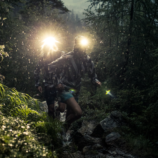
Highlights: sunrise during the ridge run between the Schmalzscharte and the Tofererscharte
After less than 1 km of asphalt on the path through the village centre, you become immersed in the wonderful world of trail running on the waterfall way towards Annencafe.
At 1.5 km you leave the path to the right for a short downhill to get to the Höhenweg: on a rather flat path you pass the 1st aid station at Café Gamskar (drinks only, 7.5 km) and run towards the hotel village Grüner Baum (8.8 km).
Along Hardtweg passing the Rudolfshöhe the way becomes narrower and with 450 metres of elevation it leads up to Graukogel middle station (= 2nd aid station, full service, 11.5 km).
Return to the Grüner Baum via forest roads and steeply up again to Poserhöhe (= 3rd aid station, full service, 17 km).
From here it goes back to the start. First over trails, then on forest roads passing the Planitzengut. Just above the Annencafe you get back on the Wasserfallweg, which this time leads you downhill back to the Alpen Arena in Bad Hofgastein.